Start With A Solid Foundation
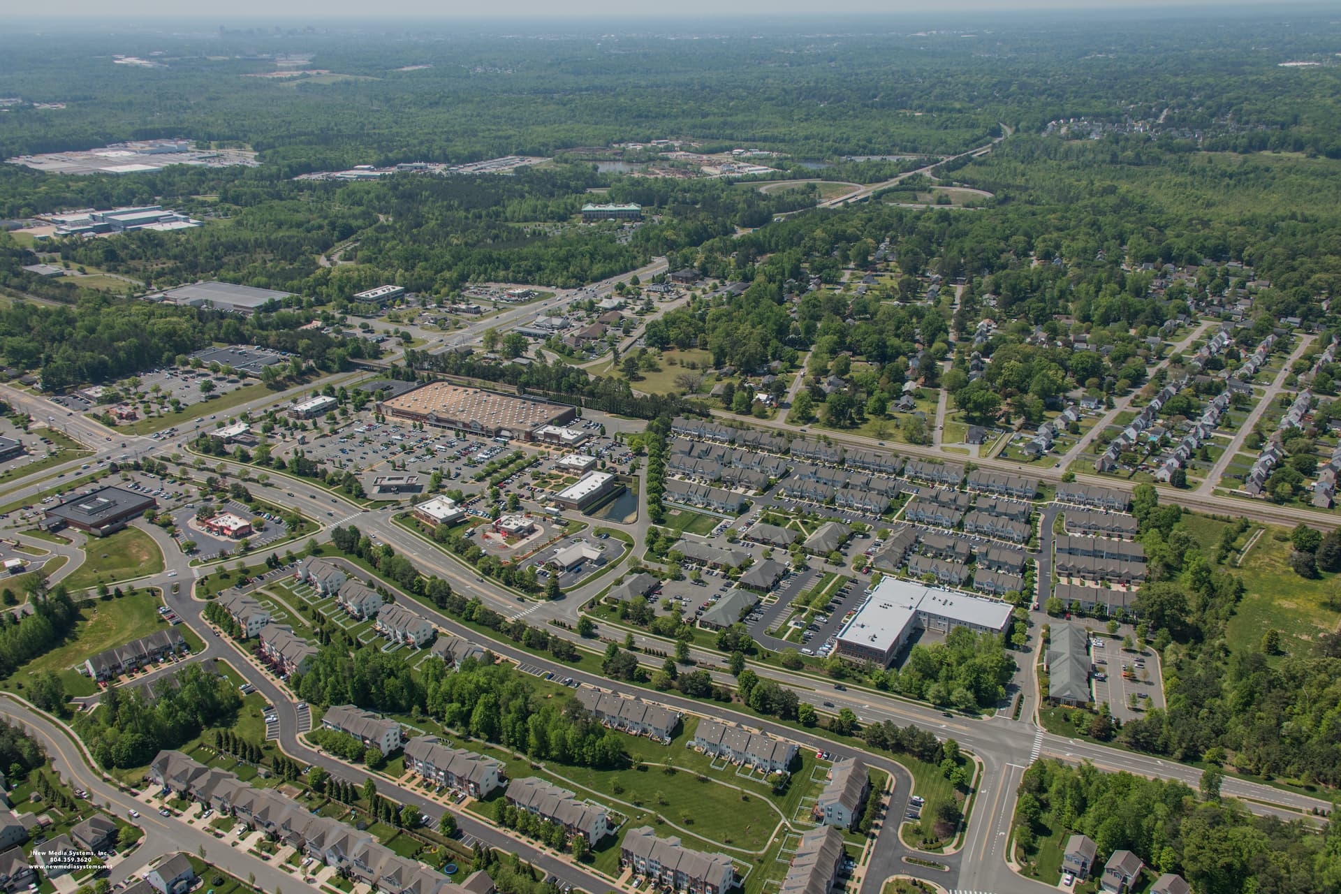
Centrally located on the East Coast of the United States, Hanover is conveniently located on I-95 offering one-day access to more than 50 percent of the U.S. population.
The County, which is a suburban/rural mix, is served by eight Interstate interchanges, with four on Interstate 95 and four on Interstate 295. Hanover is part of the greater Richmond metropolitan area and is located just 90 miles south of the nation’s capital in Washington, D.C. The County is 471 square miles in area, and has one incorporated town, which is the Town of Ashland.
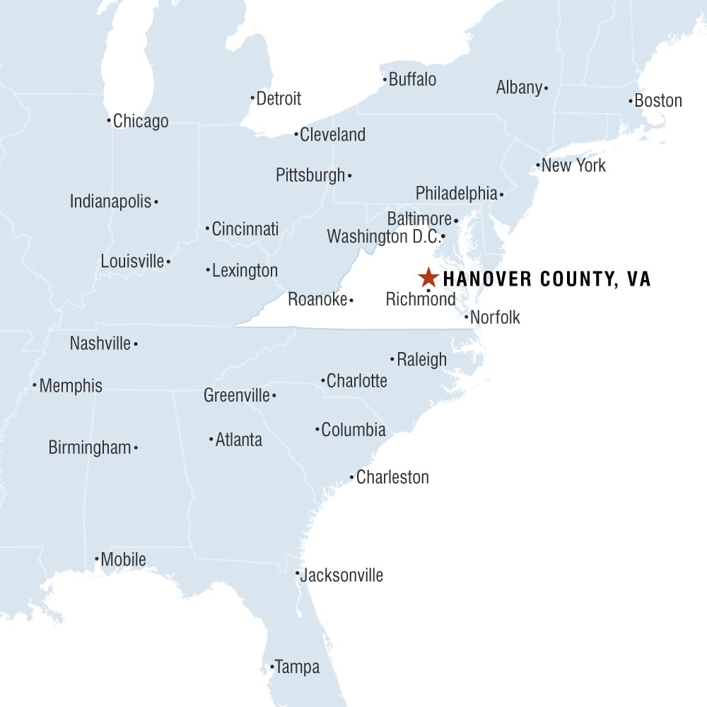
Distances and Drive Times to Other Major U.S. Cities
| City | Distance To Richmond (Miles / Kilometers) | Drive Time (Hours) |
|---|---|---|
| Atlanta, GA | 511 / 822 | 9.5 |
| Baltimore, MD | 142 / 229 | 3 |
| Boston, MA | 538 / 866 | 10 |
| Charlotte, NC | 275 / 444 | 5 |
| Chicago, IL | 742 / 1,194 | 14 |
| Cincinnati, OH | 509 / 819 | 9.5 |
| Cleveland, OH | 419 / 674 | 8 |
| Columbia, SC | 383 / 618 | 6.25 |
| Columbus, OH | 478 / 769 | 8.5 |
| Indianapolis, IN | 611 / 983 | 11.5 |
| Jacksonville, FL | 602 / 969 | 11 |
| Lexington, KY | 477 / 768 | 9 |
| Louisville, KY | 549 / 884 | 10 |
| Nashville, TN | 599 / 963 | 11 |
| Newport News, VA | 81 / 130 | 1.5 |
| New York, NY | 340 / 547 | 6.5 |
| Philadelphia, PA | 236 / 380 | 4.5 |
| Pittsburg, PA | 298 / 480 | 5.5 |
| Raleigh, NC | 173 / 278 | 3 |
| Roanoke, VA | 161 / 259 | 3 |
| Virginia Beach, VA | 110 / 177 | 2 |
| Washington, D.C. | 107 / 172 | 2 |
| Tampa, FL | 790 / 1,271 | 14.5 |