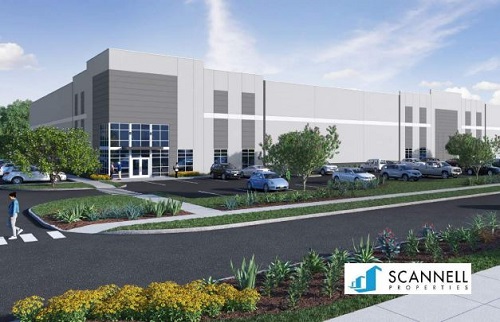
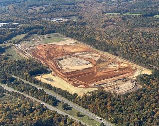
Cardinal Commerce Center
Zone: M-2
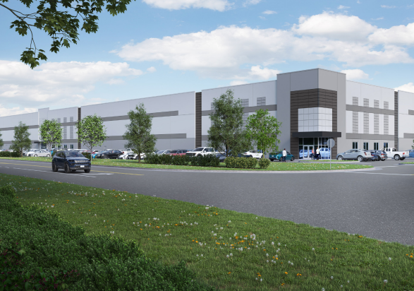
Start With A Solid Foundation
Cardinal Commerce Center
Zone: M-2
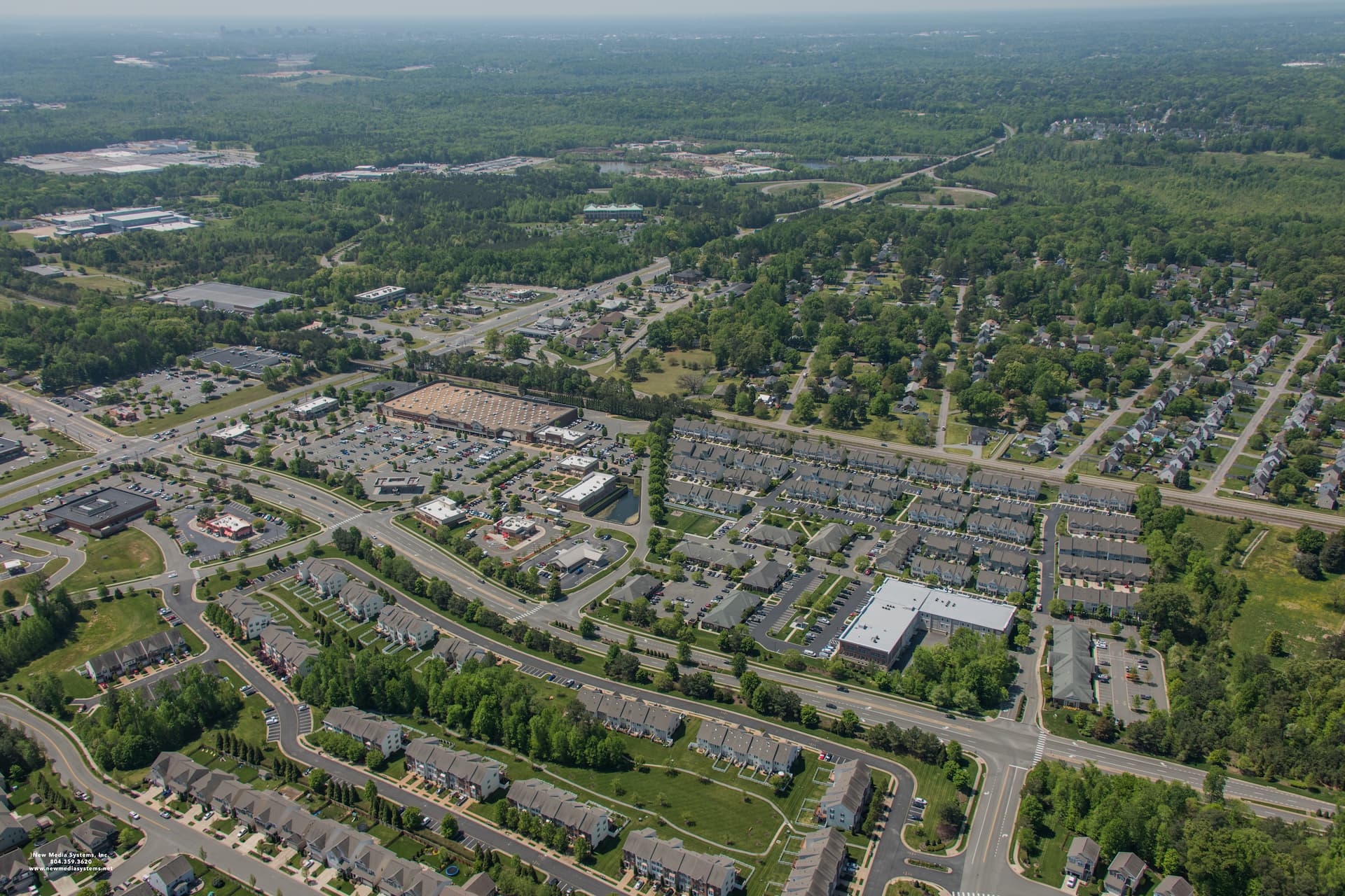
Crescent Business Center (CBC)
Zone: M-1
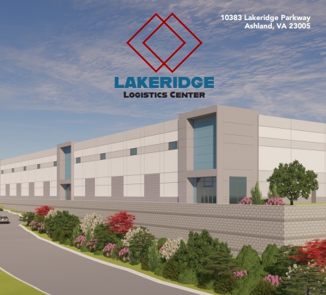
Lakeridge Logistics Center
Zone: M-1
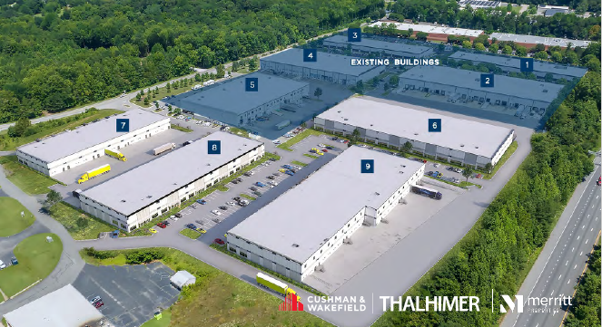
Lewistown 95 Logistics Center
Acres: 34
Zone: M-2

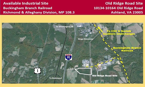
Old Ridge Road Site
Acres: 53.84
Zone: M-3
Pole Green Commerce Center
Acres: 64.4
Zone: M-2
River Point Commerce Center
Zone: M-2
Winding Brook Retail Center
Zone: B-3

The Virginia Economic Development Partnership (VEDP) creates and maintains a number of diverse resource tools which provide up-to-date information needed to make an informed site location decision.
Use the County GIS Map to get critical data about sites in Hanover County, including soils, topography, tax parcels, property boundaries, permitting, satellite imagery and more.
View the Building Permit Reports to access current and archived records of issued building permits. To find more information about a specific permit, locate the permit number in the report, then open the Permit Search link. Enter the permit number in the Search Value field and click Search. From the search results, select the permit to view additional details.
The Active Development button displays a map of active development cases throughout Hanover County. Clicking on a parcel on the map will provide additional information about that development.
For personalized assistance to help you identify the right opportunity for your business, detailed property information, and guidance throughout the site selection process, please contact Armon Smith. Armon can provide local insight, connect you with available sites and buildings, and help move your project forward in Hanover County.